(707) 269-2058 • RCAA/NRS 904 G St. Eureka, CA 95501
Smith River Winroads Fill Volume Project
Project Dates:
2014
Service:
Funding Organizations:
United States Forest Service
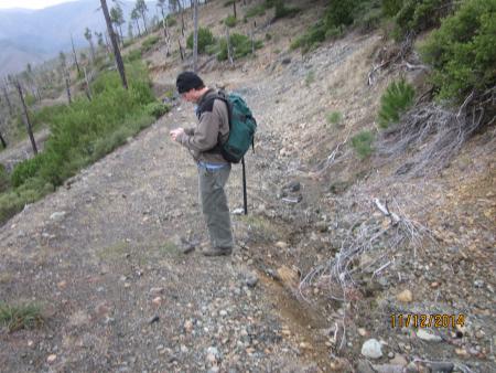
In 2014, RCAA was hired by Six Rivers National Forest to survey and calculate stream crossing fill volumes within the Smith River National Recreation Area on the Six Rivers National Forest. 121 sites were surveyed by field crews using the WinRoads protocol developed by Redwood National Park. Fill volumes were calculated using the WinRoads software and will be used by the Forest Service to develop restoration plans to decommission stream crossing and road segments. Decommissioning these sites will prevent a potential 39,000 cubic yards of sediment from entering the stream system and impacting anadromous fish habitat.